
Google introduces AI-powered update to Maps with new ‘Ask Maps’ feature

Google has announced a major update to Google Maps, introducing new artificial intelligence features powered by Gemini that aim to transform how users search for places and navigate their surroundings.
One of the key additions is a conversational feature called Ask Maps, which allows users to ask questions about real locations and view the results directly on the map. Instead of browsing through lists or reading multiple reviews, users can simply type a request and receive suggested locations alongside their exact positions on the map.
The feature allows both practical and highly specific queries. For example, users might search for a place nearby to charge their phone without having to queue in a coffee shop, or ask for a public tennis court with lighting available in the evening. The results appear with recommended locations and brief details about each option.
Google Maps relies on information from more than 300 million locations worldwide to generate responses. It also draws insights from a global community of over 500 million contributors, whose reviews, updates and location details help improve the recommendations.
The system can also incorporate information based on a user’s activity within Google Maps. Searches, saved places and personal preferences may influence the suggestions displayed. For instance, if a user frequently searches for vegan restaurants, the application may prioritise similar options when recommending places to meet friends.
Once a location is selected, the app offers additional options such as making reservations, saving the place to a list, sharing it with others or immediately accessing directions.
Major overhaul to navigation
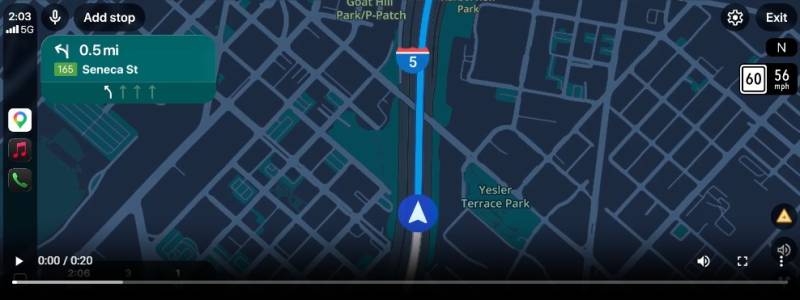
The update also introduces a significant redesign of driving directions, described by Google as the most substantial change to navigation in more than a decade. The new system, known as Immersive Navigation, features a redesigned interface with more detailed visuals and expanded route guidance.
During navigation, users can see a three-dimensional representation of the surrounding environment, including buildings, flyovers and terrain. Road features such as lanes, pedestrian crossings, traffic lights and stop signs are also displayed to make turns and merges clearer while driving.
These visual enhancements are generated through analysis of Street View imagery and aerial photographs, which are processed by Gemini to interpret road layouts and nearby landmarks.
The navigation system also provides a broader view of the road ahead. Features such as smart zooming and transparent building overlays help drivers anticipate intersections, lane changes and complicated turns earlier in the journey.
Voice guidance has also been improved. Instead of short prompts, directions can now reference nearby landmarks or exits, while visual indicators appear on the screen at the same time.
Google Maps continues to analyse traffic data from drivers and other sources, processing more than five million traffic updates every second to detect congestion, accidents or roadworks that may affect a journey.
Alternative routes will now include additional context, with the application explaining potential trade-offs such as a longer journey with lighter traffic or a faster route that includes toll roads.
As users approach their destination, the app may display Street View images of the surrounding area and recommend nearby parking. The system can also highlight the correct building entrance and indicate the appropriate side of the street for arrival.
The Ask Maps feature is currently being rolled out on Android and iOS devices in the United States and India, while Immersive Navigation is initially being expanded across the United States.